Floods in Wisconsin and Paddling the Bark River
As Wisconsin is going through what is allegedly the wettest summer on record, it is a tricky time to be working on a Wisconsin paddling guidebook. While drought years are bad for canoeing or kayaking, the other end of the spectrum isn’t much better. Yesterday made that fact clear.
This is one of 40 Wisconsin canoe trips detailed in my book Paddling Wisconsin:
After consulting river flow levels on the USGS website we noted they were anywhere from triple to 10 times the long-term median. Just the other day two teens had to be rescued near Beloit when they overturned a canoe. The nearly daily rain, coming steady sometimes for hours, means faster water, higher levels, and both increased deadfall and the possibility of simply getting snagged in trees that aren’t normally even in the river.
We headed to the Bark River to paddle the 5.4-mile stretch that brings it to the Rock River right inside Fort Atkinson. It is typically a flat-water trip that meanders through a mostly wooded area amid farmland. It is wide enough that one can go around most deadfall, but because of that it requires a bit of navigation effort, making for a pretty nice paddle. Seeing the forecast for more rain, we decided we’d try to get this one done so we don’t end up trying to do 25-30 paddle trips in about as many days before the deadline at the end of summer.
We put my bike at the takeout point on the Rock River in downtown Fort Atkinson and then drove to the put-in spot. On the way we ran into a roadblock on Bark River Road. Closed due to flooding. I walked a good ways down to judge the depth and it all came up to about mid-shin over good pavement. Peung and I decided I probably needed to take a detour with my bike like we had to with the car, thus adding a couple miles to my bike trip back to the put-in point later.
We put-in just above the bridge on County Highway N and were immediately presented with the first potential problem of high-water paddling: the bridge itself. We sank low into the canoe to clear it, hoping my eyeballing measurement of the clearance was accurate.
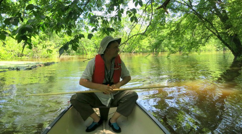
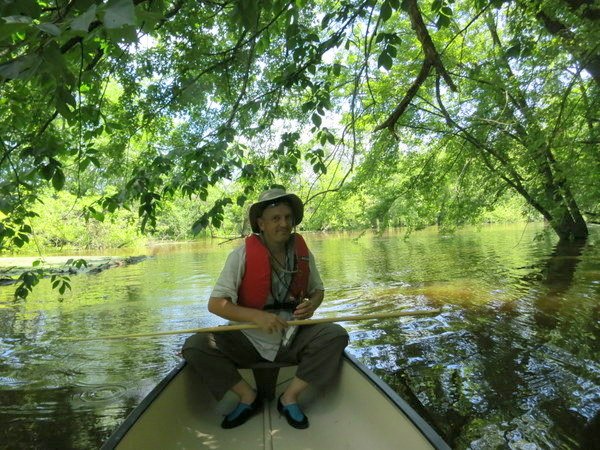
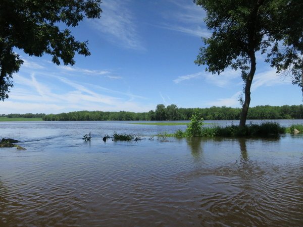
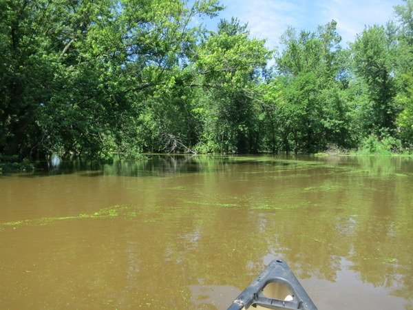
On the other side we entered what is now Bark Lake. Farm fields are flooded. The banks of the Bark are somewhere deep down in the chocolate milk. How were we going to know the river from the cornfield? And with all the sloughs and nearly imperceptible current, how would we be sure where the next passage through the woods was?
In this photo we could actually see current where the overflowing river was still flooding the farm field, but the flow within the course of the river was invisible. Or was it?
Duckweed. I had to ask friends what it was called, but it’s a familiar sight on Wisconsin waters. The tiny plants float on the surface of the water in large quantities. Nature leaves breadcrumbs, you might say, and we paddled after them like Hansel and Gretel.
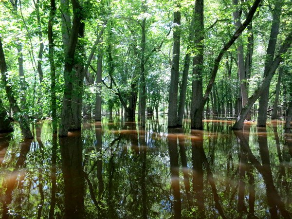
The duckweed gathered into a long narrow band that remained rather faithful to the invisible river bed below. Even in wide open areas we could follow the Duckweed Highway and end up angling into the correct path through the totally flooded woods.
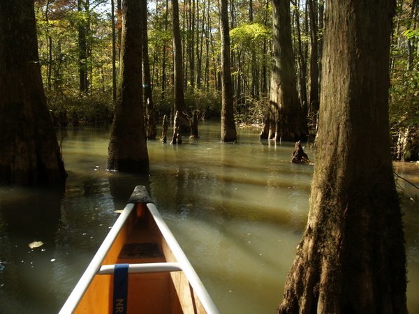
The scenery reminded me of the Ghost River Section of the Wolf in Tennessee, a great paddle that sometimes leaves unprepared or careless paddlers spending the night in their canoe under a sycamore tree until daylight returns so they can find their way out (or be found).
Our only companions were a few herons, kingfishers, several cardinals, a hawk, and an egret. No deer. The flooding was worse than I first estimated.
Check out the observation platform at the park. The few houses we saw at the edge of town had sandbags laid out. We passed along the edge of Bark River Road, now part of the river itself, and then under the final bridge before the Rock River. Less than a mile down river, just past the Main Street bridge, we took out at the public boat landing.
Now I just had to pedal back to get the car. I am big on shortcuts, even if ill-advised. So I when I came to the fork in the road where I was told to go left and literally take the high road to stay out of the flood, I shirked my safety-minded adult self and went right, straight into the flooded lane. My phone rang and I thought it must be my wife, as she always seems to know when I am up to something. I was riding slowly to keep myself reasonably dry.
It was one of my publishers, returning my call. “Oh, hi. Um, yeah… I’m riding a bike down a flooded country lane through about a foot of water. Could I call you back?”
What struck me was that she didn’t react in anyway. Not a gasp, not a holy cow. Nothing. But it was Menasha Ridge Press, a publisher specializing in outdoor guidebooks. I suspect half of us are making and taking calls from canoes, tents, or national parks. Anytime I call fellow author Johnny Molloy, I get his Tennessee accent and signature laid-back “What’s goin’ on!” and perhaps his location. “Hey, right now I’m on the Appalachian Trail.”
As I rode farther the water came up to the crankset and the tone of the rushing water deepened. I could judge the depth changes just my listening. The clear water soaked into my water shoes. The only other people out there on their bikes? The neighbor kids. I caught up to three kids weaving back and forth making wakes with their BMX bikes. Two others up ahead were using a semi-serious bow and arrow with twine tied to it to shoot carp that didn’t have the advantage of duckweed to guide them back to the river channel.
I came up behind the bikers and they looked at me with surprise. We nodded at each other with respect and smiled at the unusual experience we were sharing. “This. Is. AWESOME,” I announced. They nodded in agreement.
I kept going, and after a few hundred feet, a carp thrashed at the side of the road as I passed. I turned to look back at it. One of the kids, already way behind me, had a big smile on his face and pointed to show me where it had splashed. I nodded. We waved to each other and I pedaled out onto dry pavement for the last two miles to my car.
Photos by Preamtip Satasuk







 ORDER YOUR COPY TODAY!
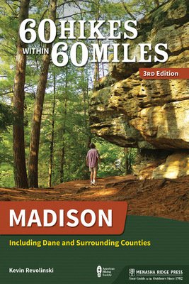 ORDER YOUR COPY TODAY!
Water does strange things when you’re not looking! Be careful out there. :o)
True that! The worst disaster can come in the humblest current.
Hi Kevin, is there any crocs in that river? Seems scary..
Only the ones that have fallen off the feet of careless paddlers! 🙂
The rain just keeps coming. We get a couple of days break and then another set of storms come through worse than the ones before. Hope things begin to moderate after the 4th. I am sure they will.
I’m planning a kayak trip August 29, 2015. Does anyone know if this Trip shown in this article is possible this time of year? Obviously we don’t have the flooding issues — but is there enough water to float a kayak in August, 2015? I live in Rockford, IL, so a trip is possible, but it’s difficult to drive all the way there just to find out there’s no water! Please help. Thanks!
Should be OK! But I’d call Rock River Canoe, the outfitter in Fort Atkinson to confirm anyway. It sure won’t be as big and wide as it was when we went. It was crazy.
Thomas,did you own a 1983 Yamaha Vision if so can you contact me? I would like to get the title if possible